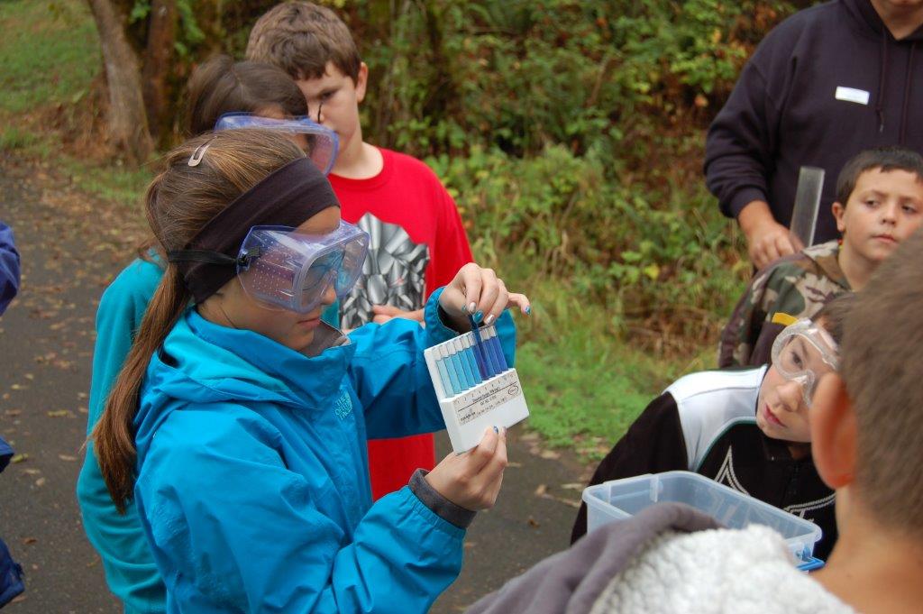
Clark County partners with the City of Vancouver's Water Resources Education Center, who manages the Student Watershed Monitoring Network (SWMN). This program has provided the foundation for students and teachers to engage in community science to monitor and analyze the health of local streams, creeks, wetlands and stormwater facilities.
Teachers of all grade levels are invited to participate in yearly, STEM clock hour trainings that prepare them for a schoolyear of collaboration with SWMN educators providing supplemental place-based, hands-on field experiences to their students.
Student-driven investigations can include experiences in chemistry, physical science and biology, and the data collected is used in class throughout the year to help students tell the story of their monitoring site and watershed.
Near the end of the academic year, teachers may select a small group of students for participation in a culminating event to share data about their monitoring site in a variety of ways and enrich their learning with a collaborative real-world problem solving activity.
Learning Resources
Watch the recorded webinar, Watershed Monitoring - Connections to Pollution, to learn about maps and strategies for connecting monitoring observations to real-world activities and solutions.
FieldScope
With a grant from the Lower Columbia Fish Recovery Board, the Student Watershed Monitoring Network is working with BSCS and FieldScope to provide an online database so field data can be archived and available to other community scientists, regulatory agencies and the public.
To learn more about the Student Watershed Monitoring Network’s FieldScope database and how to register, enter data and create visualizations please visit: SWMN FieldScope.
Entering Data
Every participating school collects data to match their class goals, available monitoring site and schedule. FieldScope is set up to collect as much data as your school as available. Here are some of the parameters and data fields available for this program:
- General observation information (date, time, length of time monitoring, weather conditions, etc.)
- Photo point stations (track changes over time with digital image log)
- General site conditions (did you find pollution or erosion, something unusual)
- Physical parameters (habitat conditions, etc.)
- Chemical parameters (pH, DO, nitrate, phosphate, turbidity, fecal coliform)
- Biological parameters (amphibian egg masses, wildlife evidence, macroinvertebrates by family level, etc.)
FieldScope includes videos of how to enter data, create maps and graphs and cover general project use.
Testing procedures and processes
The City of Vancouver's Water Resources Center and Student Watershed Monitoring Network educators have created curriculum toolkits to assist teachers in instructing about various watershed monitoring field investigations and to guide students in standard method aligned Level 1 data collection. Visit SWMN FieldScope for more information.
Reports
Each year of the grant, program staff report on the FieldScope project.
- Year 1 (2018-2019)
- Year 2 (2019-2020)
- Year 3 Final Report and Appendices (2018-2021)
- Quality Assurance Project Plan (QAPP)
Contact Us
If you have questions about the Student Watershed Monitoring Network or our FieldScope database, email Rainy.Rau@cityofvancouver.us or call 360.624.3861.
