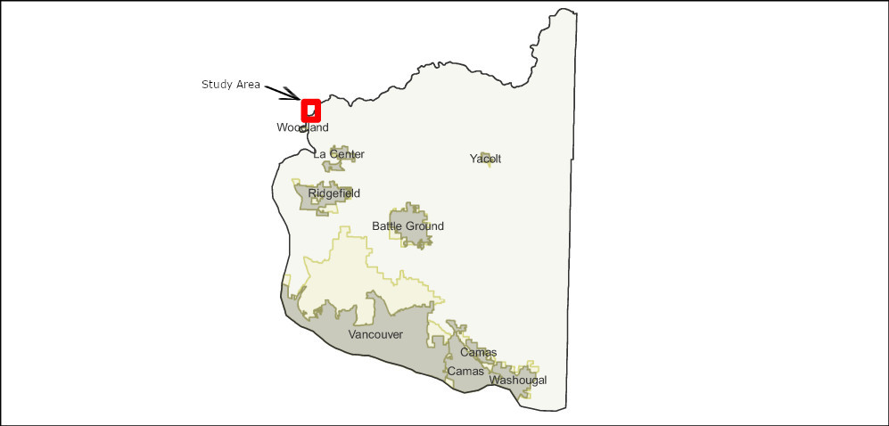
FIRMs 53011C0061D and 53011C0062D
A hydraulic analysis was performed on a portion of the North Fork Lewis River, specifically between River Mile (RM) 7.69 and RM 8.61, utilizing new ground topography. The study resulted in revised floodplain boundaries (floodway, 100-year floodplain and 500-year floodplain) for FIRMs 53011C0061D and 53011C0062D in Clark County. The revised boundaries have been confirmed by the Federal Emergency Management Agency (FEMA).
A report of the study and a working map of the upcoming changes can be found at the links below.
- Hydraulic Report (PDF)
- Working Map (PDF)
Additional information on floodplain mapping, regulations, and resources can be found at the following linked page on the Clark Regional Emergency Services Agency’s (CRESA) website: www.cresa911.org/flood-map-update/
