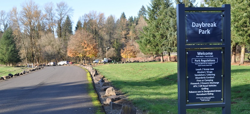
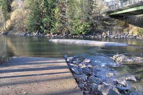
This 77.3-acre park and boat launch is located along the East Fork of the Lewis River northwest of Battle Ground.
The Washington Department of Fish and Wildlife and the former Vancouver-Clark County parks department developed the boat launch, on the south side of Daybreak Bridge. The site includes parking for 32 vehicles with trailers.
Park and river impacts - East Fork Lewis River Reconnection Project by Lower Columbia Estuary Partnership
The East Fork Lewis River is closed to boaters and other river users for three miles downstream/west, starting at the Daybreak Regional Park boat launch. For your safety, do not enter the river at this location.
The closure allows for construction of the Lower East Fork Lewis River Reconnection Project, a project led by the Lower Columbia Estuary Partnership. To learn more about the East Fork Lewis River Reconnection Project, www.estuarypartnership.org/our-work/habitat-restoration/east-fork-lewis-river-reconnection-project.
Lower Daybreak Trail impacts (2025–2026): Construction is scheduled to take place in 2025–2026, impacting access to the Lower Daybreak Trail. Once construction begins, access to the paved and gravel paths and portions of the adjacent field will be restricted. Click here to view the attached map. Construction will occur in the yellow area.
Facilities
- 15 picnic tables
- 2 pieces of play equipment
- 2 restrooms
- 97 parking spaces, plus 6 disabled parking stalls
- Boat launch
- Multiuse paths
- Viewpoint to the East Fork Lewis River
The Lower Daybreak trailhead was just constructed and can be be accessed from the boat launch parking lot located on the west side of Northeast Daybreak Road across from Daybreak Regional Park.
Trail users should stay on marked trails to minimize impacts to wetland and habitat areas.
The paved trail is just over a 1/2 mile at 0.56 miles. The gravel loop trail is just over 1/3 mile at 0.34 miles. The river access path is only about 100 feet or 0.02 miles. Total length of all trails is 0.92 miles.
Swimming
Daybreak Regional Park has water access but does not have lifeguards on duty. Park users swim at their own risk.
More information: Swimming at Clark County Parks
Hours
7 am to dusk
Related information
26401 NE Daybreak Road
Battle Ground, WA 98604
United States

